
Ocean surf forecasts are built around groundswell that travels thousands of miles. The Great Lakes don't work like that. Every lake wave is made by wind blowing across the lake you're surfing, often in the last few hours. Learn to read the wind and you'll score sessions the apps miss.
The three things that make lake waves
- Wind speed. Stronger wind means bigger waves. As a rough guide, a steady 20-knot wind starts making surfable waves on a long stretch of water, and 25 to 35+ knots makes real surf.
- Fetch. This is the distance the wind blows over open water before it reaches you. The longer the fetch, the bigger and more organized the waves. That's why a north wind is best for Chicago (it blows the whole length of Lake Michigan), and an east wind is best for Toronto.
- Duration. Waves need time to build. A strong wind that blows for an hour won't do much. The same wind for six to twelve hours can light up the coast.
Step 1: Find a wind that blows toward your beach over a long fetch
Look at a map of your lake and draw a line from your beach out across the water. The direction with the longest stretch of open water is your swell window. For example:
- Chicago and southern Lake Michigan: north and northeast winds.
- Sheboygan: works on both north and south winds thanks to its pier.
- Toronto: east and northeast winds.
- Kincardine and Lake Huron's east shore: north, northwest and west winds.
- Eastern Lake Erie (Buffalo): southwest and west winds.
- Marquette on Lake Superior: north to northeast winds.
Step 2: Check the marine forecast and wave models
Wind apps like Windy show wind speed and direction hour by hour. Marine forecasts from the U.S. National Weather Service and Environment Canada give forecast wave heights for each lake zone, and NOAA's Great Lakes Environmental Research Laboratory (GLERL) runs a wave model built for the lakes. Ocean-focused surf apps often under- or over-call lake surf, so treat them as a rough guide.
Step 3: Confirm with buoys and your eyes
Great Lakes buoys (NOAA's NDBC network) report real-time wave height and period, but many are pulled from the water for winter. When the buoys are out, use webcams, shore reports and your friends' texts.
A note on wave height: forecasts usually give significant wave height, the average of the biggest third of the waves. Individual sets can be bigger, sometimes close to double.
Step 4: Time it
Lake swell fades fast once the wind drops, sometimes within a few hours. The best window is often:
- Late in the storm, when the wind is still blowing but starting to ease, or
- Right as the wind swings offshore, which cleans up the waves for a short, glassy window before the swell dies.
If you wait until tomorrow morning, you'll often find a flat lake.
Step 5: Read the period
Lake waves usually have a 4 to 8 second period, compared with 10 to 20 seconds in the ocean. On the lakes, 6+ seconds is a good sign: the waves will be more powerful and better organized.
Fall is the best time
In fall, the lakes are warmer than the air. That instability mixes strong winds down to the water's surface, which is why October to December brings the most and biggest surf. In spring, cold water keeps winds lighter.
Learn more in our Great Lakes Surfing FAQ, the Lake Michigan guide, the Lake Superior guide and the Lake Ontario guide.
For the forecast checkers

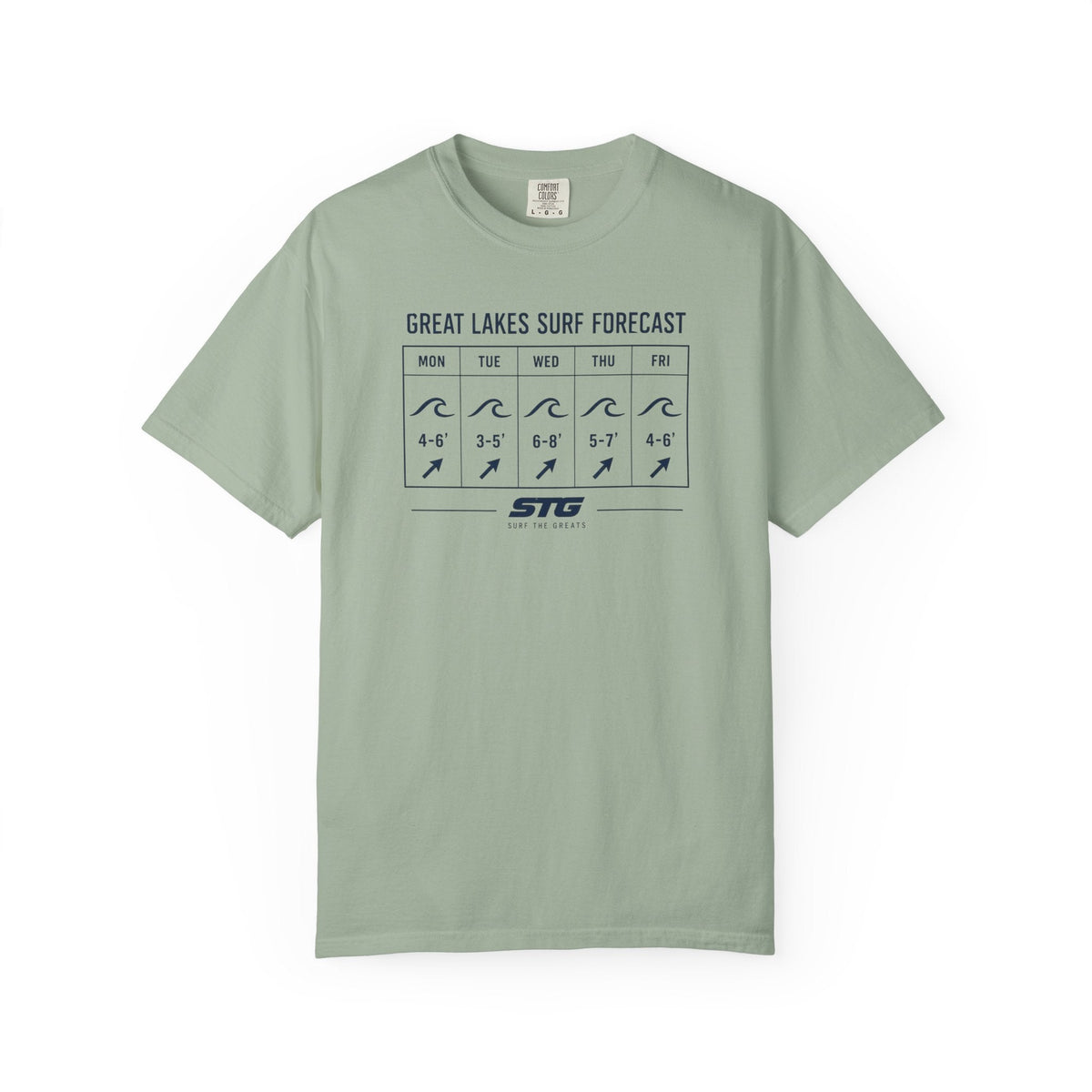
Great Lakes Surf Forecast T-Shirt
For anyone who refreshes the wind map more than their email.

Storm Watch 5 Lakes T-shirt
All five lakes, one storm.

Storm Chaser T-Shirt
For the ones who drive toward the storm.
Source on wave height and fall winds: National Weather Service.
Share:
Surfing Lake Ontario and Toronto: Spots, Winds and Seasons
Great Lakes Water Temperature by Month (and What Wetsuit to Wear)